How the Official Denver Plow Tracker Works
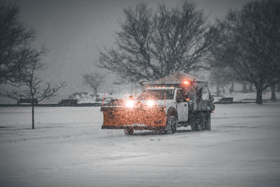
If you search for a Denver snowplow map live, the first thing to know is that the city runs one official tool: the Plow Tracker on denvergov.org. It’s a web map built on GPS data from the city’s snow fleet, and it shows where the large plows and the smaller residential plows have traveled. You can open the official Plow Tracker from any phone or computer. There’s no app to install.
"Live" is a bit generous, though. According to 9NEWS, the tracker shows where the "Big" and "Residential" plows have been, and what you see runs 15 minutes behind. It depends on GPS, so the picture is only as good as the signal from each truck. Treat it as a very recent history of plow activity, not a pin on a driver’s exact position this second.
The city also publishes a separate GIS page showing the current snow routes. Different tool, different job. The Plow Tracker answers "where have plows been?" while the snow routes page answers "which streets are on the plan?" Bookmark both before the first storm of the season, not while snow is already coming down.
A few cautions. I couldn’t confirm how often the tracker refreshes beyond that 15-minute delay, and older coverage mentions a username prompt that may no longer apply, so don’t be surprised if the page behaves differently than a years-old article describes. The city also hasn’t spelled out exactly which fleets appear on the map. A quiet stretch of street means "no recorded pass yet," not proof that nothing is coming.
Why the Map Is Delayed and What the Icons Mean
The 15-minute lag is deliberate, not a glitch. Coverage of the tracker reports the delay was built in on purpose, and it’s worth remembering whenever you’re tempted to stand at the window waiting for a plow to appear. If the map shows a truck two blocks away, it has already moved on by the time you read it.
So what does an icon actually tell you? As CBS Colorado put it, a truck’s icon shows where it has been. That’s the key to reading the map correctly. A line or marker on your street means a plow has come through. It doesn’t mean the street is bare, and it doesn’t mean another pass is on the way.
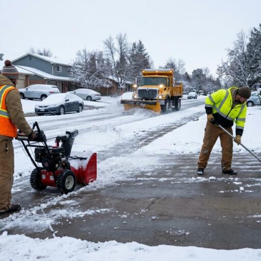
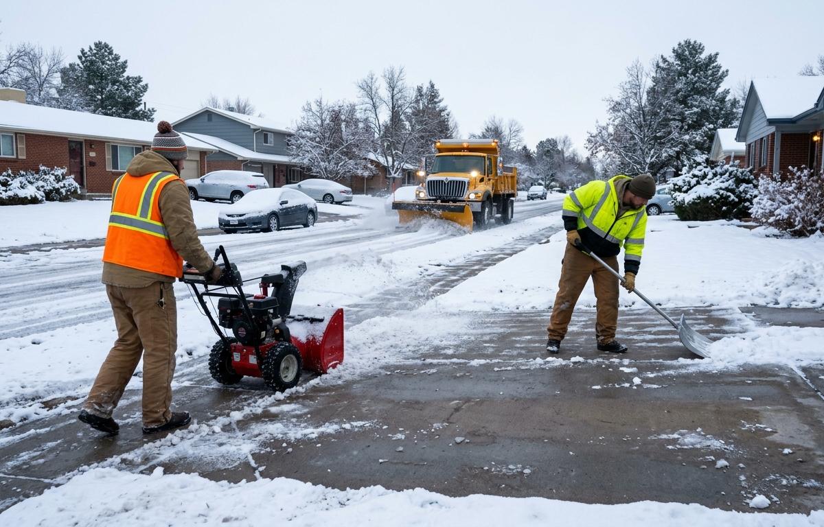
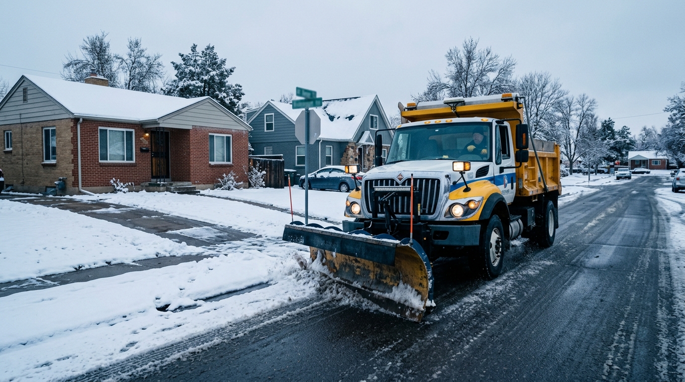
Large plows and residential plows do very different work. The big plows handle the main arterials. The smaller residential plows run single passes down side streets. The city’s Snow & Ice Build-Up Fact Sheet explains that during major snow events, residential streets get one single pass down the center, at the discretion of the Mayor’s office and the Department of Transportation and Infrastructure (DOTI). Those plows shave the top few inches of snow pack and don’t expose bare pavement.
A residential trail on the map, then, isn’t a promise of clear pavement. It’s a record that a plow ran one pass down the middle to prevent deep ice rutting. Per 9NEWS, the city decides on residential plows by weighing how much snow is forecast and how cold it will get afterward, sending them out when snow is followed by cold temperatures. Residential plows also carry no deicing material, which is why a plowed side street can still be slick.
Plow Tracker vs CDOT COtrip for State Roads
Denver drivers often hit a confusing moment: the city map shows nothing on the highway they need. That’s because the city’s tracker covers city streets. State roads and interstates belong to the Colorado Department of Transportation (CDOT), which runs its own tool called COtrip.
As KDVR reported, CDOT’s interactive map shows a plow’s location, speed and direction. There’s a catch: plows that haven’t moved for more than 16 minutes don’t appear on the map. A truck parked at a depot or idling at a stop can simply vanish from the display, so an empty stretch of highway doesn’t mean no plows are assigned to it.
A simple rule of thumb helps. Driving a neighborhood street, a collector road or a downtown route? Check the city’s Plow Tracker. Heading onto an interstate or a state highway? Check COtrip. Many commutes cross both, so look at each before you leave.
The two maps also read differently. The city’s tool is built around where plows have been and when, with that 15-minute delay baked in. COtrip emphasizes live direction and speed on state routes. Don’t mix up their conventions, and don’t assume a missing icon on one means the same thing as a missing icon on the other.
What the Map Cannot Tell You About Your Street and Sidewalk
Here’s where most of the frustration comes from. The map tracks plows. It says nothing about your sidewalk, your alley, your private lot or the berm a passing plow leaves at the end of your driveway.
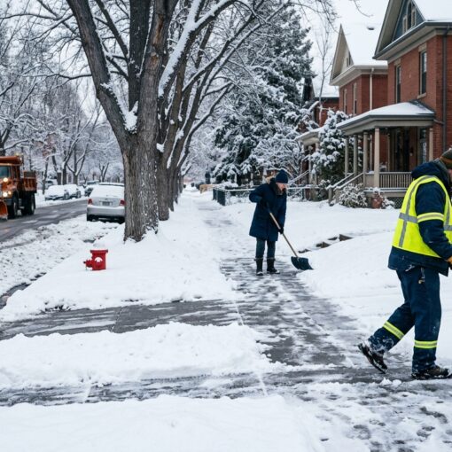
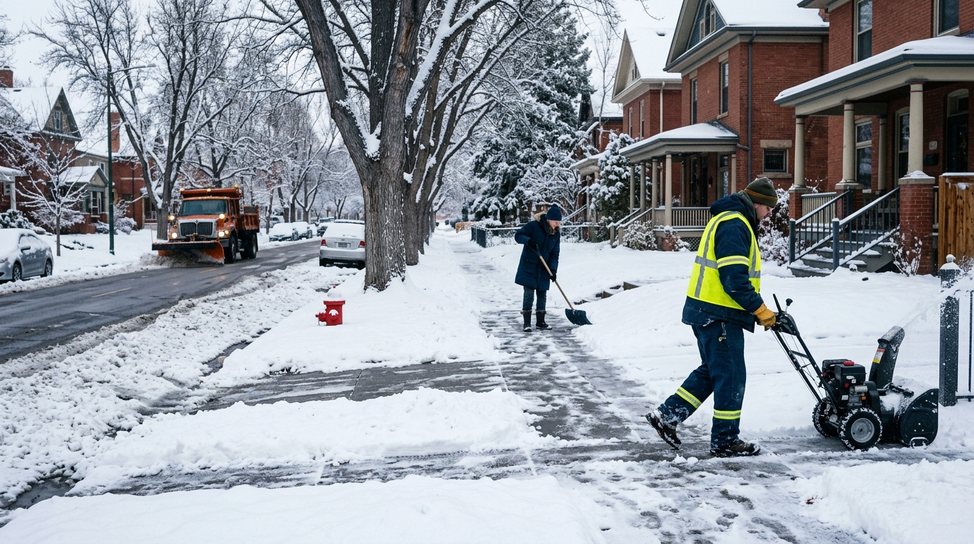
Start with sidewalks, because this is a legal point as well as a practical one. The city’s snow removal page states that property owners must clear snow and ice from their sidewalks, including adjacent ADA ramps. No map will show you who’s responsible for the walk in front of a given address, and the plow doesn’t clear it. If you own or manage property, the Denver sidewalk snow removal law for 2026 lays out the timing and enforcement details so you’re not guessing.
The city acknowledges that pushing snow onto sidewalks and driveways is an unfortunate side effect of plowing any street. In practice, a street plow can bury a walk you cleared an hour ago. The map will happily show a plow passing your block while telling you nothing about the pile it left behind.
Other gaps worth naming:
- Alleys and private lots. Not shown, and not part of the city’s single-pass residential plan.
- Ice. A plowed street can still be glazed. Residential plows don’t carry deicer.
- Special requests. According to the city’s fact sheet, 311 cannot accommodate special plowing requests, though it can accommodate ice blading and sanding requests.
If you manage a rental or an HOA, those gaps are your exposure, not the city’s. A reliable crew with proof of service matters more than any public map, and guides on snow removal with GPS tracking and photo proof explain what documentation to ask for.
What to Do During a Storm When the Map Is Not Enough
Treat the Plow Tracker as one input among several, not as a schedule. A few steps make the most of it.
First, use it to time your travel. If the tracker shows a recent pass on your route and the roads still look rough, remember that a single residential pass isn’t full clearing. Give yourself extra time or wait it out.
Second, don’t rely on the map for parking decisions. I couldn’t verify the current snow emergency parking ban status for this article, so check official city channels before a storm instead of assuming a ban is on or off. Our overview of the Denver snow emergency parking ban explains what to look for, and the city has said parking rules are enforced during storms, so a ticket is a real risk.
Third, plan for your own property. Pre-treating walks and ramps before snow arrives makes removal easier, a tip the city itself encourages. Once snow stops, the clock on sidewalk duty starts, so have a plan ready instead of improvising.
Fourth, if you’d rather not shovel at all, hire a crew before the storm, not during it. It pays to vet a provider in advance. Our guide on vetting a Denver residential snow removal service walks through the questions worth asking. Denver Snow Removal has served Denver County since 1974 with a W-2 crew, GPS-tracked trucks and photo proof of every visit, plus a 2-hour core response and 24/7 emergency service.
The bottom line on any Denver snowplow map live search is simple. The map is useful for seeing where city plows have recently been, and it’s delayed by design. It won’t tell you whether your sidewalk is legal, your driveway is passable or your car is safe from a tow. For those, you need your own plan and, if you want one, a crew that shows up and documents the work.